Garmin Navionic’s new cartography, available from March 2022, offers integrated content for offshore and inland lake waters with useful and innovative features to help you plan your routes easily and in complete safety.
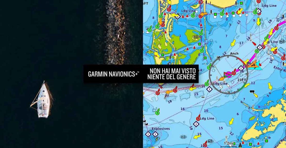
Garmin Navionics+ and Garmin Navionics Vision+ introduce an updated graphic look, thanks to new vivid colors and maximum detail of the features in coastal areas, to offer an intuitive representation on the screen of your chartplotter. This allows users to navigate in total safety thanks to an accurate and detailed view of what is below and around the boat.
In addition to total worldwide coverage of coastal areas, the new Garmin Navionics+ and Garmin Navionics Vision+ cartography also provides up-to-date coverage of more than 42,000 lakes around the world, making it the best choice also for Lake Garda.
Even more details with Garmin Navionics Vision+
For even more advanced features, boaters have the possibility to access the premium content of Garmin Navionics Vision+. This advanced Garmin cartography includes all the features of Garmin Navionics+, with the addition of high-resolution Relief Shading for details of the seafloor, 3D FishEye and MarineEye views, satellite imagery and aerial photos of key areas.
Contact us for more information and to find the best cartography for you: info@monigaporto.it – +39 0365 671022
